


North Carolina GIS Competition for Grades 4 – 12
go.ncsu.edu/readext?443673
en Español / em Português
El inglés es el idioma de control de esta página. En la medida en que haya algún conflicto entre la traducción al inglés y la traducción, el inglés prevalece.
Al hacer clic en el enlace de traducción se activa un servicio de traducción gratuito para convertir la página al español. Al igual que con cualquier traducción por Internet, la conversión no es sensible al contexto y puede que no traduzca el texto en su significado original. NC State Extension no garantiza la exactitud del texto traducido. Por favor, tenga en cuenta que algunas aplicaciones y/o servicios pueden no funcionar como se espera cuando se traducen.
Português
Inglês é o idioma de controle desta página. Na medida que haja algum conflito entre o texto original em Inglês e a tradução, o Inglês prevalece.
Ao clicar no link de tradução, um serviço gratuito de tradução será ativado para converter a página para o Português. Como em qualquer tradução pela internet, a conversão não é sensivel ao contexto e pode não ocorrer a tradução para o significado orginal. O serviço de Extensão da Carolina do Norte (NC State Extension) não garante a exatidão do texto traduzido. Por favor, observe que algumas funções ou serviços podem não funcionar como esperado após a tradução.
English
English is the controlling language of this page. To the extent there is any conflict between the English text and the translation, English controls.
Clicking on the translation link activates a free translation service to convert the page to Spanish. As with any Internet translation, the conversion is not context-sensitive and may not translate the text to its original meaning. NC State Extension does not guarantee the accuracy of the translated text. Please note that some applications and/or services may not function as expected when translated.
Collapse ▲
Sponsors: North Carolina 4-H Youth Development, North Carolina Service Learning Coalition, and Esri
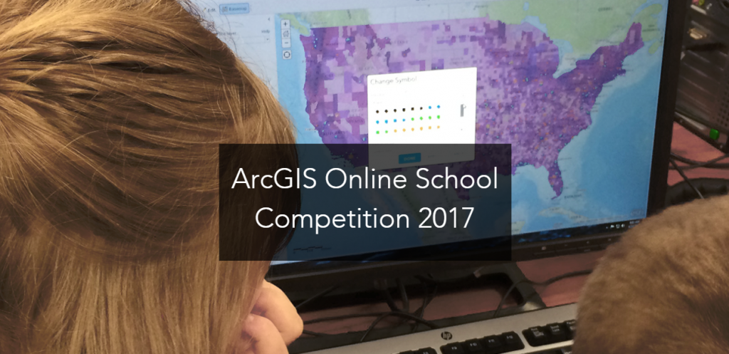
What: An online GIS map making contest
Dates:
January 25, 2017 – NC Competition Page is Live and Statewide distribution of information begins.
April 28, 2017 – Recommended deadline for North Carolina school level competition submissions for review at the school level to select the top five for submission to the State Committee.
May 12, 2017 – Schools must submit up to five school level winners to State Committee for competition judging by 5 p.m.
May 26, 2017 – State Panel will submit the top five middle school (grades 4 – 8) and top five high school (grades 9 – 12) winners to Esri by 5 p.m.
June 5, 2017 – Esri will announce top national submission for middle school (grades 4 – 8) and high school (grades 9 – 12).
July 8 – 11, 2017 – Top national winners* will attend the Esri Education GIS Conference in San Diego, CA. *Winners must agree to attend the conference.
Who is eligible: North Carolina public, private, or homeschooled students are eligible to enter the contest. Maps can be submitted individually or as a team of two students. Limit of one entry per student or team.
Challenge: Your challenge is to create an original North Carolina based map on a topic of interest or concern to you and connected to your school curriculum in some way. The area mapped can range from the entire state to a smaller area, like a county or city.
ArcGIS Online Requirement: You must use ArcGIS Online to create your original map. Your final map must be submitted in one of the following formats:
- ArcGIS Online Presentation
- ArcGIS Online Web App
- ArcGIS Online Story Map
ArcGIS Online is available to any K-12 school in the United States free of charge from Esri; see https://esri.app.box.com/connectedpdf for access to software and guidance. Your school will need to sign up for a free ArcGIS Online organization account so you can create and submit your final map. View the national competition announcement.
Prizes: The five maps judged the best in each division will be awarded a $100 prize and will move to national level judging.
Middle School Division – grades 4 – 8
Senior High Division – grades 9 – 12
Note: Teams spanning grade levels will be entered in the division of the student at the upper grade.
Award-winning maps will remain visible to the public for one year.